
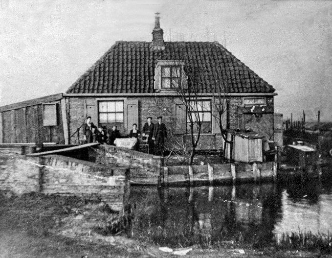
Paterspoel | Suzanna Sluis
The landscape around Landsmeer, Watergang and Purmerland has been shaped over the centuries by water, war and land reclamation. Street names, ditches and old waterworks still serve as reminders of this history.
De Paterspoel – an act of defiance
The street name Paterspoel refers to a lake with an illustrious past. In 1573, during the Eighty Years’ War, the Spanish captured the redoubt in Landsmeer near the Keering, now known as Dorpsstraat. They then sought to capture Watergang as well.
To reach the church at Watergang from Noordeinde, the soldiers had to cross a marshy area. Commander Tambergen, who was in the service of the Spanish Duke of Alva, therefore requisitioned a barge. The owner was a farmer named Klein Paterke, so called because of his stocky build.
Three soldiers were allowed to travel on each crossing. Paterke had…
De Paterspoel – an act of defiance
The street name Paterspoel refers to a lake with an illustrious past. In 1573, during the Eighty Years’ War, the Spanish captured the redoubt in Landsmeer near the Keering, now known as Dorpsstraat. They then sought to capture Watergang as well.
To reach the church at Watergang from Noordeinde, the soldiers had to cross a marshy area. Commander Tambergen, who was in the service of the Spanish Duke of Alva, therefore requisitioned a barge. The owner was a farmer named Klein Paterke, so called because of his stocky build.
Three soldiers were allowed on board per crossing. Paterke was not keen on the Spaniards and devised a ruse. As soon as he was navigating a deep ditch through the tall reeds, he began to rock the barge back and forth. The barge capsized and, weighed down by their heavy armaments, the soldiers went under. None of them resurfaced.
Little Paterke managed to reach the bank, pulled his barge ashore and bailed it out. He then sailed back to fetch more soldiers. He repeated this heroic feat several times, until Tambergen thought that enough men had arrived in Watergang. He did not know that not a single soldier had reached his destination.
The ditch has since been named the Patersloot. The larger body of water behind it was called the Paterspoel. The Patersloot still exists today and lies between Noordeinde 45-A and 47. The Paterspoel was once a vast lake covering 14.5 hectares, but at the start of the twentieth century, around ninety per cent of it was filled in with Amsterdam’s municipal waste.
The Suzannasluis – a now-vanished waterway near Purmerland
The Suzannasluis lock also serves as a reminder of the important role played by water in this area. Het Twiske used to form an important link between the IJ and the Wormer.
In 1544, Emperor Charles V decreed that dykes, also known as ‘achterdichtingen’, were to be constructed. These protected the hinterland from the waters of, amongst others, the Wijde Wormer and are still clearly visible in the landscape. It is thought that the Suzannasluis lock was also built during this period, providing access to the Twiske from the Wormer. In addition, a lock and a portage were constructed in the Oostzanerdijk, as part of the Noorder IJ and Zeedijk.
In 1626, the Wijdewormer was reclaimed. Eight years later, work began on the embankment and reclamation of the Enge Wormer. It is likely that the Suzannasluis was adapted to the new situation at that time.
With the arrival of the Zaandam–Purmerend railway line in 1864, the lock on the Wormer side disappeared. The lock, which provided access to Purmerland via the Veersloot, was filled with rubble in 1968. Although the Suzannasluis is no longer in use, the contours of this former waterway can still be recognised in the landscape.