Goudriaan route
The Goudriaan route is a walk through the ancient peat meadow landscape of Waterland-East, where you experience silence and vastness.
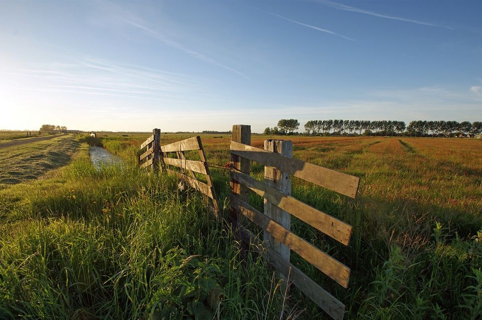
Around you, you see green, vast grasslands and lots of water: behind the dike the huge lake of the IJmeer, a little further north the Kinselmeer. With the Stompe Tower of Ransdorp on the horizon, you set off into the meadows.
You walk along two parallel ditches between which land was to be excavated for the Canal through Waterland, to a design by engineer Goudriaan. The project was never completed, but has left its mark on the landscape. In the 1990s, the ditches were fitted with gently sloping nature banks, creating an interesting ecosystem.
Halfway through the route, you return to the start pu...
Around you, you see green, vast grasslands and lots of water: behind the dike the huge lake of the IJmeer, a little further north the Kinselmeer. With the Stompe Tower of Ransdorp on the horizon, you set off into the meadows.
You walk along two parallel ditches between which land was to be excavated for the Canal through Waterland, to a design by engineer Goudriaan. The project was never completed, but has left its mark on the landscape. In the 1990s, the ditches were fitted with gently sloping nature banks, creating an interesting ecosystem.
Halfway along the route you return to the starting point via the dike along the Kinselmeer, which was created by dike breaches and floods from the Zuiderzee. In winter, the area is very popular with wild geese and wigeon from the far north. Regularly, large numbers of cormorants, shelducks, teals, tufted ducks and lapwings also stay here. Occasionally there are very special guests: in the first months of 2015, five European flamingos stayed there!
Important information:
- For this route, follow the posts with the yellow markings/arrows. Check the specific route description on the website of Wandelnetwerk Noord-Holland.
- Dogs are not allowed in the bird-rich area.
- This is a route of the Twiske-Waterland recreation board.
Tip: Do you encounter a defect along the way? Then report it very easily in the Wandelnetwerk Noord-Holland app or via www.meldpuntroutes.nl.
You are going to see this
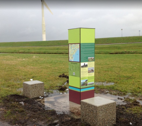
TOP Durgerdam
TOPs, short for Tourist Transfer Points, offer a convenient start to your exploration of the rural area. Each TOP provides parking facilities, after which you can explore the area by bike, on foot or even by boat
- 23
- 95
- 85
- 84
- 50
- 23