
Luijendijk
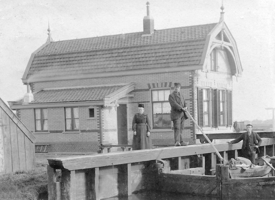
To protect the area from flooding, the Luijendijk was constructed along the Twiske in 1589. The dyke was little more than a raised path: a ‘lazy’ dyke. If you look to your right, across the white drawbridge towards the A10, you can see the water of the Twiske (twiske = divide).
This is the boundary between Waterland and Kennemerland. To the right of this stretch of water lies the village of Oostzaan, which belongs to the Kennemerland district and had its own polder council until 1980.
Along the Twiske there were various saltpetre works. The first saltpetre works in Landsmeer dates back to 1643 and…
This is the boundary between Waterland and Kennemerland. To the right of this stretch of water lies the village of Oostzaan, which belongs to the Kennemerland district and had its own polder council until 1980.
Along the Twiske there were various tanning works. The first tar-boiling works in Landsmeer dates back to 1643 and was owned by the Amsterdam merchants Piet van Lutsen and his brother Jan van Hoorn. The works caused serious pollution of the surface water. The surrounding villages protested against this, and on 9 May 1659 the High Council ruled that the owners must henceforth pay a fee of one and a half stuivers for every ‘kwarteel’ (unit of measurement): one for the poor and half as school fees. Later, tar and sludge boiling works also appeared on Oostzaan territory on the western side of the Twiske. The major towns did not want them within their boundaries because of the stench, but in Landsmeer and Oostzaan there was little development and a great deal of poverty, so they were more than welcome.
Later, glue factories also sprang up in this area, but little is known about this branch of industry. By the end of the 18th century, all the glue factories had disappeared.