
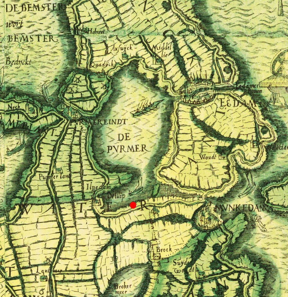
Lake Purmer before reclamation
Cartographer Joost Jansz Beeldsnijder (also called Bilhamer, 1541-1590) made a topographic map of North Holland in 1575. The image shows a detail of the map showing Lake Purmer and the towns of Purmerend, Edam and Monnickendam.
Cartographer Joost Jansz Beeldsnijder (also called Bilhamer, 1541-1590) made a topographic map of North Holland in 1575. The image shows a detail of the map showing Lake Purmer and the towns of Purmerend, Edam and Monnickendam. At the bottom right of the lake is an island; the water to its right is the Stinkevuil or Purmer Ee, which flows into the IJsselmeer at Monnickendam. If you look at the map while cycling, you will be approximately where the red dot is.
View the full map on the Waterlands Archive website.